
Walk an Oak Harbor Street
A sound Oak Harbor street directory search builds a chain, one source at a time. The Island County Assessor identifies the tax-record owner and physical parcel. County GIS shows where that parcel sits and which lots touch it. The Auditor's recorded-document index then connects the parcel or legal description to transfers and liens. Voter data and dated directories may support residence, but neither an owner name nor a mailing address proves current occupancy. Save the date and source for every result.
- Enter the street name in Island County PACS Parcel Search. The county guide suggests omitting the number at first, then choosing the right property.
- Open the card and save its physical address, GEO or parcel number, PID, taxpayer, mailing address, legal description, and appraisal year.
- Use Oak Harbor GIS or county ICGeoMap to confirm road geometry, corner lots, shared drives, units, and nearby parcels.
- Take the parcel number or legal description to the Auditor index. Follow grantor and grantee names through recorded transfers.
- Request a lawful Island County voter list or consult dated directory and newspaper sources when the question concerns residents, not title owners.
This order reduces false matches. It also leaves clear fallbacks: call the Assessor or Recording Department, visit the Coupeville counter, file a specific public-record request, or use Oak Harbor Library and Historical Society collections.
Search Oak Harbor Parcels
PACS is the main current address tool. Its four basic routes serve different street-directory tasks. A street-name search lays out possible parcels. Owner Name reverses the route from a person to property. Account search accepts a Property ID or Geographic ID, while DBA searches a business name.
| PACS option | Entry field | Best local use |
|---|---|---|
| Property Address | Street number and name | Start with the name alone, then select a parcel |
| Owner Name | Owner name | Find parcels tied to a tax-record owner |
| Account Number | Property ID or Geographic ID | Return to one known parcel |
| Doing Business As | Business name | Locate a named business parcel |
The result is a property lead, not an occupant roster. The county warns that parcel information may be incomplete or out of date. Confirm key facts with the office.
Record both parcel identifiers when they appear. The PID is useful inside county systems, while the GEO or parcel number can help bridge property and legal records. Also note the appraisal year and land-use code. Those details separate two similar street results without turning a tax record into a claim about residence. If a unit, short plat, or condominium has changed, compare the selected parcel with the map before following a name.
The PACS landing page shows the official public-use notice and search entry point.
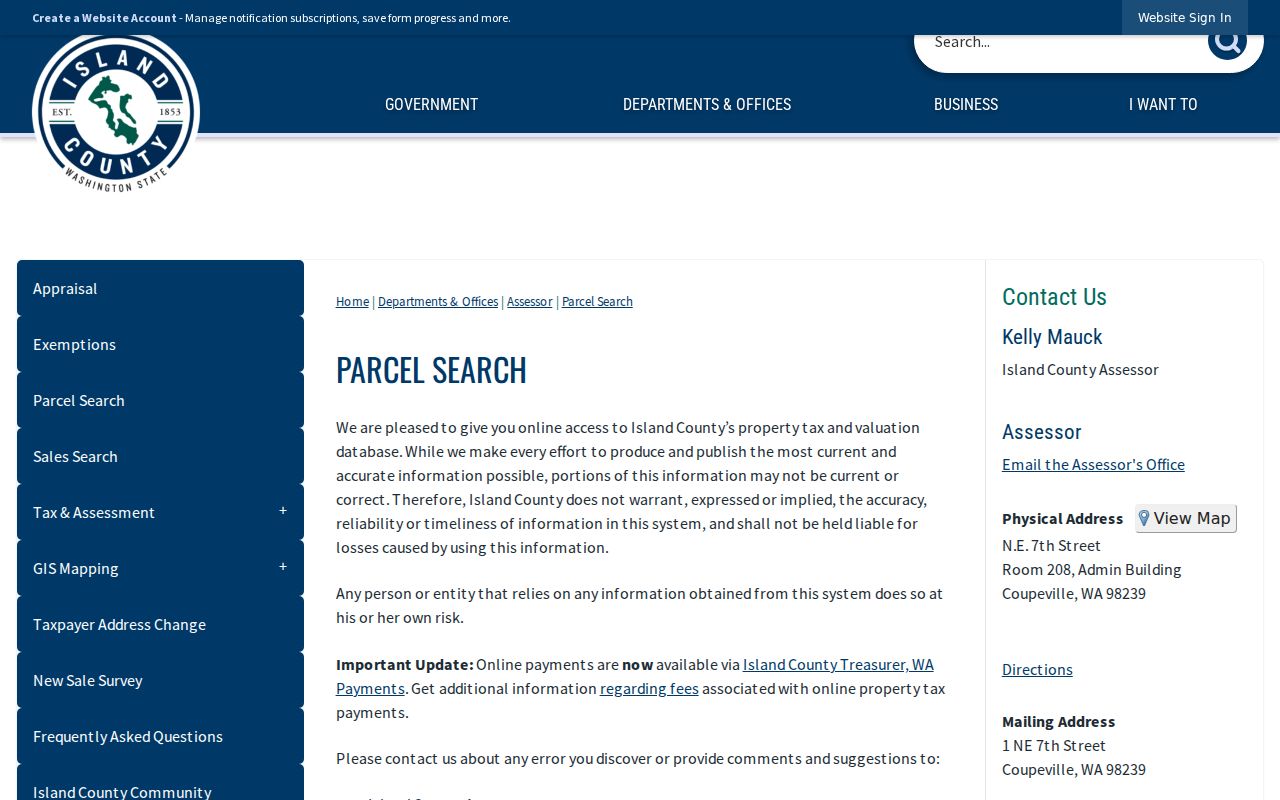
That screen is the practical start for matching a street name to a county parcel before moving into deeds or other address sources.
Oak Harbor's Two Addresses
County GIS keeps the physical address apart from the mailing address. The physical, or situs, address marks where the parcel lies. Mailing fields show where tax correspondence goes. Mail may go elsewhere in Oak Harbor, another state, an agent, or an entity. A taxpayer beside a street address may not live there.
- Parcel
- A mapped piece of land with its own county identifiers.
- Situs address
- The physical parcel location, not the tax-mail destination.
- Plat
- A recorded map dividing land into lots, blocks, roads, or units.
- Criss-cross directory
- A historical directory arranged by address or phone, not just surname.
The GIS layer also exposes values, land-use code, acreage, exemptions, water source, appraisal year, and a SmartGov link. Those fields distinguish parcels, but they do not establish who lives there.
Oak Harbor Street Record Layers
No single record equals a live household list. The Oak Harbor street directory combines address layers while preserving what each one can prove.
| Address layer | Custodian | Useful evidence | Access route |
|---|---|---|---|
| Property card | Island County Assessor | Taxpayer, site and mail addresses, IDs, values | PACS, phone, counter, request |
| Parcel map | Island County GIS | Shape, adjacent lots, site ZIP, SmartGov link | ICGeoMap, REST layer, county help |
| Recorded documents | Island County Auditor | Grantor, grantee, deed, lien, plat, dates | Index, counter, phone, copies |
| Voter lists | Island County Elections | Selected registration fields and voting history | State extract or county request |
| Permits and cases | Oak Harbor Building and Code | Project dates, type, named parties | SmartGov, department, city request |
The parcel number links property to recorded documents, while the physical address links it to city permit material. Voter records add a separate, date-bound registration check. Historical directories and newspapers fill older gaps.
Keep a worksheet for each Oak Harbor parcel rather than a list of assumed occupants. Note the displayed street number, ParcelNo, PID, taxpayer, physical ZIP, mailing city and ZIP, and appraisal year. Mark corner lots, shared drives, and condominium units separately. One street address can point to several parcels, and several tax lots can share an access road. The format makes those differences visible before a name is carried into another index.
If the portal result is unclear, call the Assessor at 360-679-7303 or use the county counter for a current parcel card and legal description. A PID or geographic ID helps staff find the same record. PACS, GIS, the office phone, and the counter are distinct access channels, and the public web result does not replace a certified source.
Note: A street directory result is stronger when two independent, dated sources agree on the same name and physical address.
Deeds Along Oak Harbor Streets
The Island County Auditor Document Search accepts parcel numbers, names, dates, document numbers, book and page, and legal descriptions. Start with today's GEO or parcel number. For older transfers, search the legal description and trace each buyer as grantee, then grantor.
Island County's recorded history reaches 1853. Older entries may depend on subdivision, lot, block, section, township, or range instead of today's street number. Platted values use a pipe, ranges use a colon, and PLSS values use spaces. A search for 3 does not include 3N; 3* can find 3, 3N, and 3S, but not 31.
The free index is a finding aid. Ask Recording about images or copies. Regular copies list $1 for the first page and each added page. Certified copies list $3 for the first page and $1 for each added page.
Oak Harbor Permits by Address
The Oak Harbor Building Division handles building, mechanical, plumbing, sign, and demolition permits. A permit can date physical change and name an owner, applicant, or contractor. It does not prove occupancy.
Code Compliance handles complaint-based cases. A complainant may request anonymity, but the city cannot promise it because the complaint is public and testimony may be needed. Search online, call the department, or make a focused city request for a site and date range.
The official Oak Harbor Code Compliance page identifies the city's complaint categories and explains the public-record disclosure issue before a request is made.
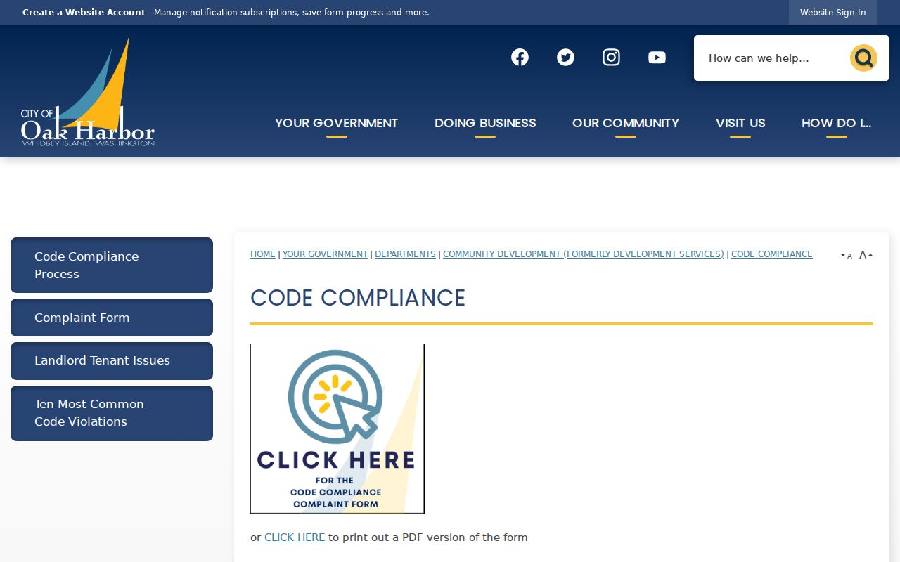
This city screen helps route an address concern to the correct code channel, while the dated case record remains evidence of a complaint or enforcement step rather than proof of who occupied the property.
At the rural edge, Island County Environmental Health maintains a separate parcel/as-built portal and septic records. It adds property history, not a resident roll.
City records that are not posted can be requested through the Oak Harbor request center. Keep the wording narrow: name the address, record type, department, and useful date range. The city distinguishes ordinary city requests from police-record requests and follows Washington's five-business-day initial response rule. A custodian need not create a new list or analysis that does not already exist.
Oak Harbor Street Jurisdictions
Postal, city, county, Urban Growth Area, and Naval Air Station Whidbey Island layers overlap. The land-use map names Pioneer Way, Ault Field Road, Yates Road, Case Road, and Waterloo Road, but an Oak Harbor mailing label does not identify the records custodian.
Most ordinary local postal addresses use 98277. NASWI has separate ZIP 98278. Compare the parcel's physical city and ZIP with city-limit, UGA, and installation context. City records go to Oak Harbor, while parcel and recording records remain with Island County in Coupeville.
Oak Harbor Voters by Street
Washington makes current voter lists, precinct lists, and poll books public under limits. Disclosable fields can include name, address, year of birth, and voting history. Full birth dates, license numbers, and Social Security fragments stay protected. Island County Elections is at 400 N Main Street in Coupeville and answers 360-678-8290.
The state voter-data extract requires requester details, a file choice, county selection, and agreement to restrictions. No individual street-search portal was found. Lists cannot be used for prohibited solicitation. Address Confidentiality Program participants may use a substitute address.
Older Oak Harbor Street Names
No authoritative source identifies a citywide renumbering year. When an old number fails, search the name without its number, try old abbreviations or route names, and check nearby cross streets. Legal descriptions and parcel geometry are safer bridges than an assumed date.
Oak Harbor Library at 1000 SE Regatta Drive has microform, scanning, copying, and a card-gated newspaper archive. Sno-Isle's Whidbey newspaper run spans 1891 through 2009. The Historical Society offers maps, land claims, newspapers, and paid research by appointment. Full collections belong on the Oak Harbor city directory page; here they serve as dated address checks.
Oak Harbor Street Directory Limits
A parcel card names the taxpayer, not every resident. Renters, relatives, roommates, and other occupants may never appear. A mailing address may belong to an off-site owner or agent. Permits name project parties, and deeds name legal parties. Neither is a current household census.
Voter data omits protected identifiers and restricts use. ACP substitute addresses protect qualifying people. County GIS disclaims accuracy and is not a certified survey or title opinion. Verify a key result with the custodian.
Lawful use. Use Oak Harbor address records for lawful personal research, family history, property questions, or civic review. Never use them to stalk, harass, intimidate, or harm anyone.
If an online tool is incomplete, ask the exact custodian for a specific record and date. The Washington Public Records Act generally calls for a response within five business days by producing records, linking, estimating time, seeking clarification, or explaining a denial.